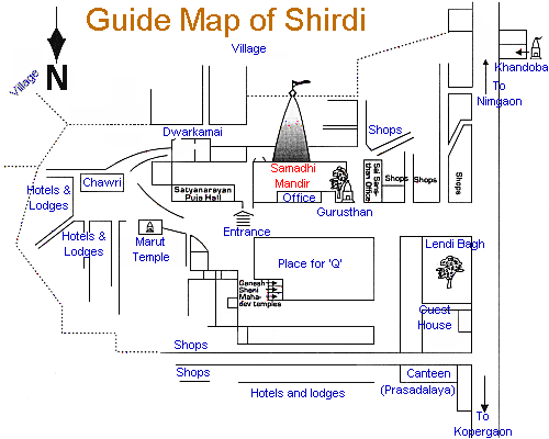
hirdi is located in Ahmednagar district of Maharashtra in Western India. Shirdi extends latitude 19°45 N and longitude 74°25 E. This remote hamlet has gained a massive popularity across the globe for its association with the charismatic saint Shri Saibaba. Shirdi is among most sacred pilgrim spots in India. Easily accessible from all the major cities of Maharashtra by road, Shirdi is equally approachable from across the country through rail and air network. However Shirdi does not appear on either rail or air, still a good road network ensures that the tourists have an easy and no-hassle travel to Shirdi by road. Shirdi is quite close to the holy city of Nashik with just 90kms away. It takes about 6hrs to reach Saibaba of Shirdi from Mumbai. Pune is about 206kms from Shirdi. Sai temple of Shirdi is among the top pilgrimage sites of the world. Shirdi is flocked by devotees and curious tourists who journey to this holy land of Shri Saibaba. Shirdi is based in the Ahmednagar district of Maharashtra and located on the latitude 19°45 N and longitude 74°25 E. We are presenting the Shirdi Map for your ready reference.


No comments:
Post a Comment